Chasing Fall Along the Lewis River
Between June and August, the trails, swimming holes, and campgrounds in the Lewis River area of the Gifford Pinchot National Forest are packed with people enjoying those delicious Northwest summers. The parking lots are full, the campgrounds are booked, and the trails hold a steady stream of hikers, sightseers, and nature-lovers. While these busy summer months are beautiful, as soon as mid-September rolls around, the Lewis River area quickly starts to clear out and I start making plans for a visit.
Even if I wasn’t watching the calendar, I’d know if I was arriving after peak season. The trees lining the two-lane highways get a yellow tinge and the moss slowly starts turning green again. Parking is now abundant, the campground crowds have dwindled, and its quiet. Quiet enough to hear the rain tapping against a canopy of leaves and the faint rush of distant cascading waterfalls.
The winding fern-lined trails smell of sweet, decaying earth. Banana slugs creep along the sides of trees, moving so slowly they almost go unnoticed. Gray, orange, and brown mushrooms peek out from the underbelly of fallen logs. Look closely at the toppled trees and you might find the the tiniest mushrooms you’ve ever seen peeking up between tendrils of moss. Everything is green, save for those leaves slowly showcasing those vibrant autumnal shades.
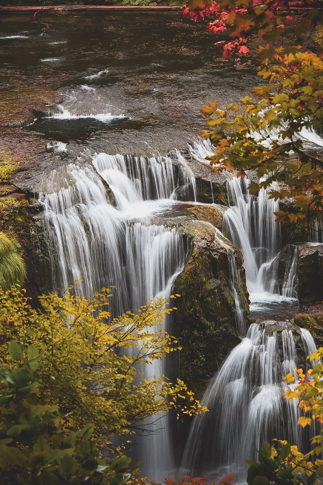
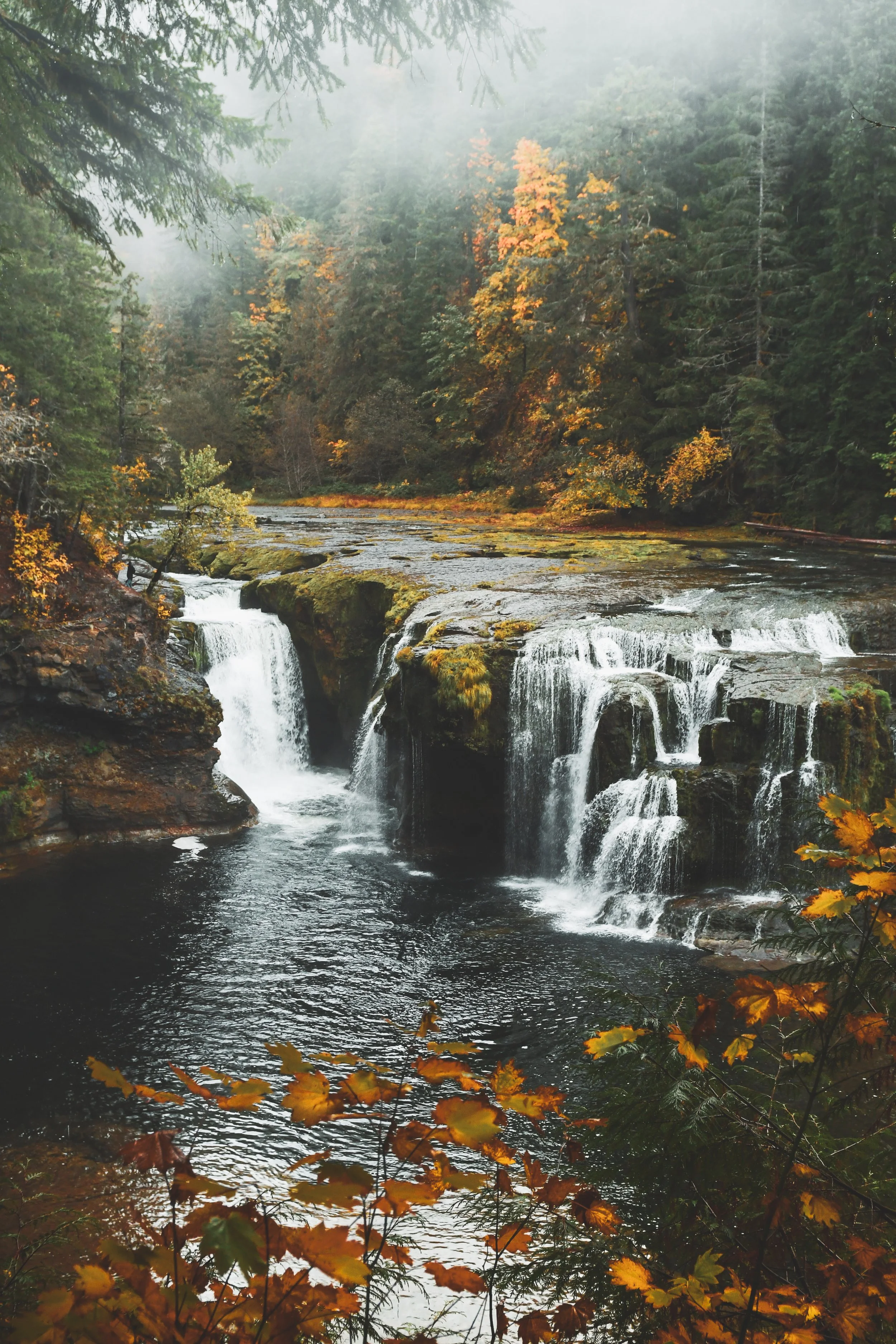
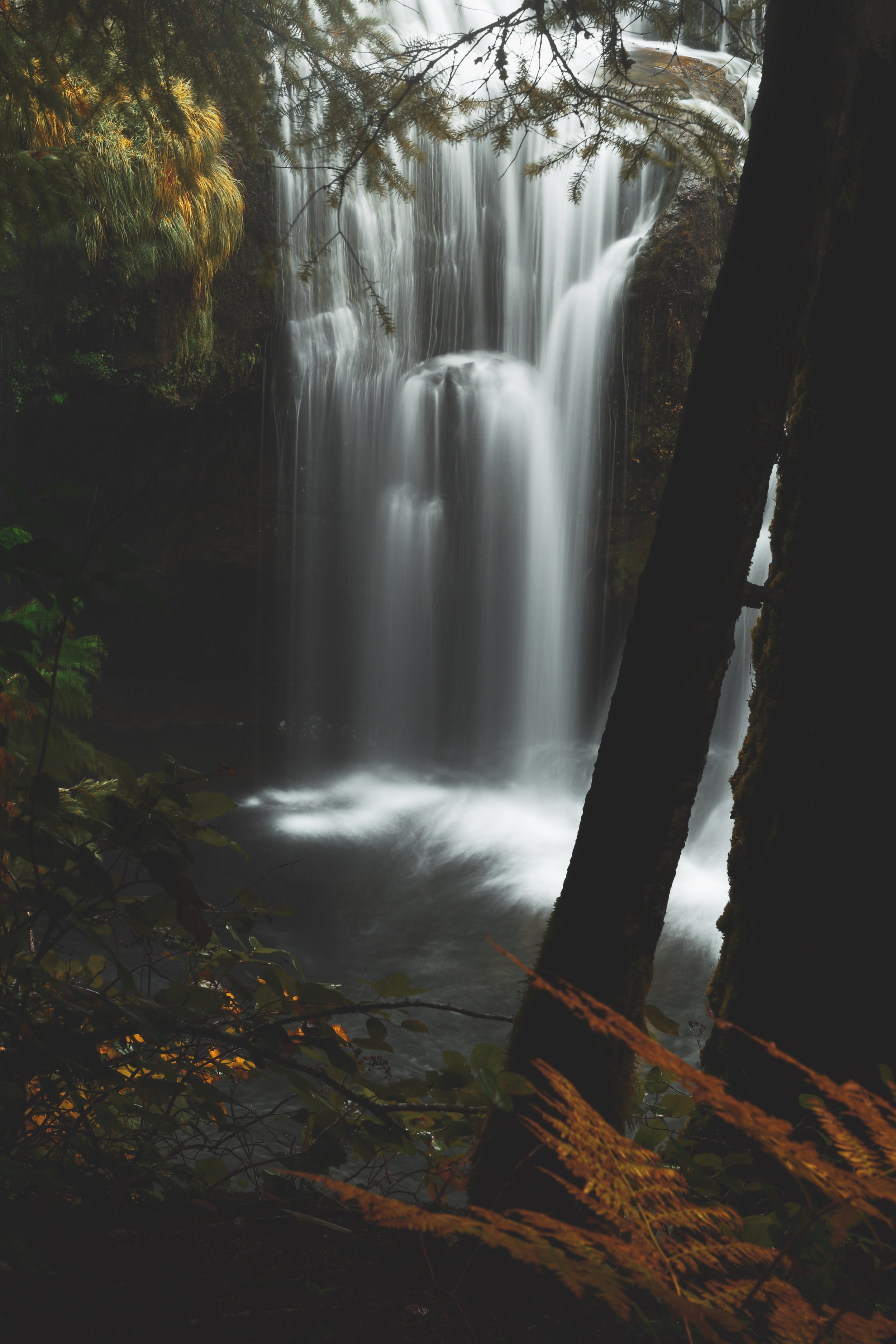
Something about the topography tends to keep heavy, wet clouds locked above this area. More often that not, I arrive to find the ground soaked and the rain still falling. Fog tends to hang over the river and among the tops of impossibly tall trees. Every once in a while, the sun peaks through the clouds and fog, and the mist sparkles as it’s suspended in the air.
The Lewis River area is magic, every time.
While the waterfalls alone make the trek to this region worth it, there are also only a part of the full Lewis River experience. Depending on your route, you might drive through the scenic Columbia River Gorge and stop at the McClellan viewpoint of Mt. St. Helens. Or, you might drive down Lewis River Road that runs past a few small towns and Lake Merwin, Yale Lake, and the Swift Reservoir. As you near the Lewis River, you’ll drive through lush old-growth forests, over moss-lined rocky rivers, and past smaller road-side waterfalls. Once there, you can choose to walk for 5 minutes or hike for many miles, visit one waterfall or a handful, or maybe somewhere in the middle.
Ready to go explore? Check out the details below to help you plan.
Getting There
A little over two hours from Portland, this spot isn’t a quick trip but it’s definitely worth the miles! There are a few different routes you can take. From Portland, you can drive through the Gorge towards Carson, then follow the highway into the Gifford Pinchot forest. Alternatively, you can drive North on I5 and then exit at Woodland. You will almost certainly not have cell service, so download directions and trail information ahead of time. As you get closer to the Lewis River, the road isn’t entirely paved and there are sections with potholes. Go slow!
When to Go
The Lewis River is incredibly busy during the summer (but beautiful!) If you are looking for less crowds, go between September and November. If you are looking for Fall color, typically late September through October is your best bet. From late November through March, this area can get snow, so check out conditions ahead of time and remember you won’t have cell service.
The Falls
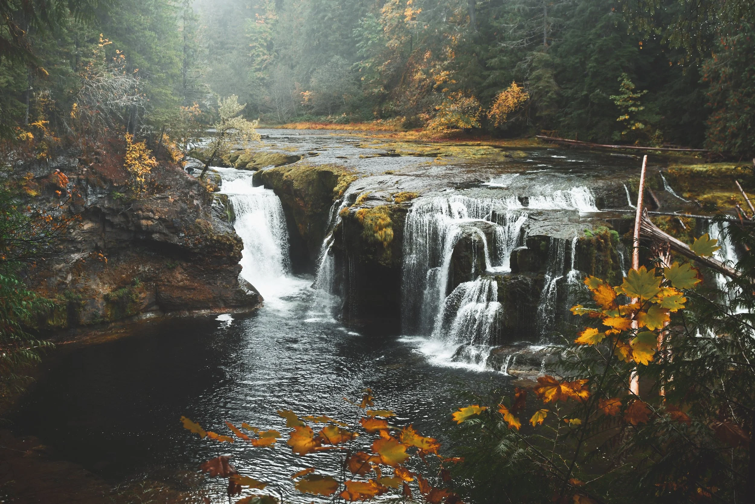
The Lower Falls are the most well-known in this area and there are few easy-to-access viewpoints along the trail. If you see any of the falls along the river, let it be this one! Middle Falls is a little harder to get a good/safe vantage point of, but you can also see Upper Copper Creek Falls close to the Middle Falls trailhead. Upper Falls is stunning and the trail allows you walk right down the water. If I had to pick, I would go to Upper Falls above Middle Falls.
The Trail
The Lewis River trail runs parallel to the river and winds through a lush old growth forest. There are multiple trailheads and entry points along the river. The most established trailhead is at the Lower Falls Recreation Area parking lot. From this parking lot, its a very short walk to the viewpoints of Lower Falls. After visiting Lower Falls, you can hike along the Lewis River trail in either direction. Hike upstream, you’ll eventually reach Middle Falls and Upper Falls (a few extra miles of hiking for both- this website has more details). You can also get back in your car and drive to either the middle or upper falls trailheads which will cut off some of the mileage, but will still require a hike. The trails to Middle and Upper falls are more moderate and have some steeper sections.
Know Before You Go
The Lower Falls Recreation Area has a small parking lot and toilets (possibly seasonal). Middle Falls and Upper Falls also have small parking lots, but do not have facilities. You must have a parking pass or pay for one when you park. If you are looking for directions, current conditions, etc. click here.
As always, if you choose this adventure or any other, be sure to leave no trace or leave the place better than you found it.
Love, Rachel